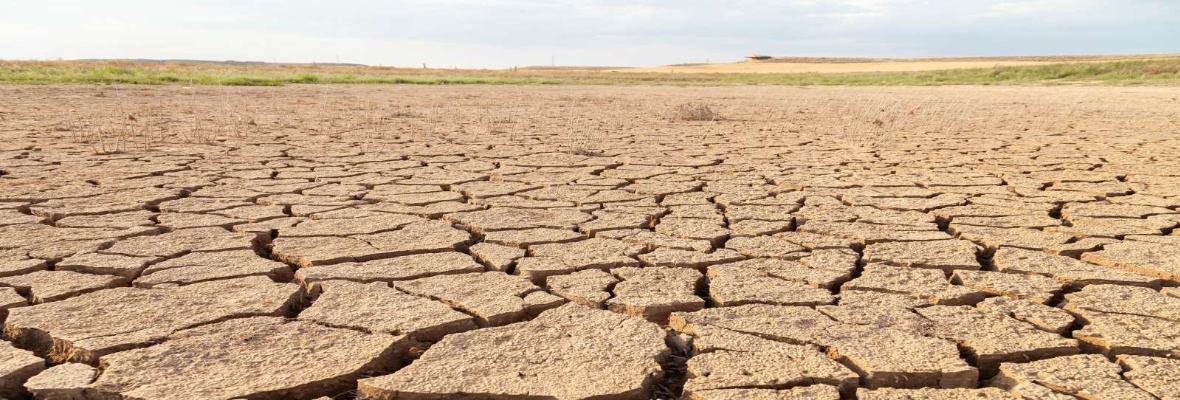
The Intersucho project monitors and predicts the occurrence of drought in the Czech Republic, Slovakia, and Central Europe utilising its map database on the Intersucho.cz website. It provides up-to-date information on the state of agricultural drought, its forecast, and the quantification of its impact. An important section of the site is the assessment of the impact of drought, working with the active involvement of hundreds of volunteers from agriculture, forestry, and other fields.
Citizen Science
Become involved in Czech science!
Record and share data with us that can help scientists at the Czech Academy of Sciences further their research.
The journey to discovering new insights, unusual solutions, and innovations can start with your mobile phone alone.